Geospatial applications for climate-smart landscape management
Using a collaborative information and communications technology for development (ICT4D) process, we are developing open-source applications to map diverse landscapes and seascapes.
This project is funded by the Australian Centre for International Agricultural Research (ACIAR) and is a collaboration between stakeholders in Fiji, Tonga, Australia, and New Zealand.
Research
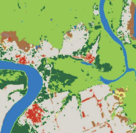
In Pacific Island Countries, the environmental resources that support livelihoods are distributed across landscapes in a mix of spatial patterns. Capturing this spatial detail in landscape use is important to inform landscape management that is sensitive to these livelihood dependencies.
This research is using a collaborative software development methodology (ICT4D) to:
- develop a workflow and geospatial apps to map and monitor landscapes.
- build the capacity of landscape stakeholders to use GIS and geospatial data for landscape management.
maplandscape: an open-source workflow to map diverse landscaes
maplandscape is a workflow of open-source mobile, cloud, and desktop geospatial apps for mapping landscapes.
It provides tools for collecting geospatial data in the field using mobile devices, cloud-based data management and storage, and access to a range of geospatial analysis and visualisation functions through a web browser.
Together, these apps support monitoring a diverse range of landscapes and make it easy to generate insights from geospatial data to guide landscape management.
The functionality of the maplandscape workflow was co-designed with stakeholders in Tonga and Fiji to meet landscape monitoring and decision-making needs.
Contact
Email: [email protected]
Address: F09 – Madsen Building
School of Geosciences, The University of Sydney
Memberships: